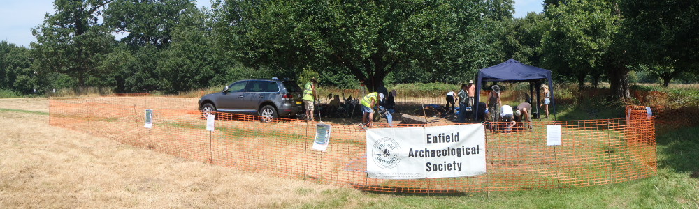
Founded in 1955, the Enfield Archaeological Society is active in carrying out research and fieldwork in and around the London Borough of Enfield, in order to understand and preserve its history.
Our main aims are: to promote the practice and study of archaeology in the district; to record and preserve all finds in the borough and encourage others to allow their finds to be recorded by the Society; and to co-operate with neighbouring societies with similar aims.
Membership is open to anybody with an interest in the past.
The Enfield Archaeological Society is affiliated to the London and Middlesex Archaeological Society; the President for the society is Harvey Sheldon BSc, FSA, FRSA
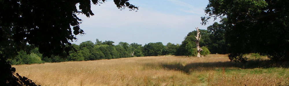
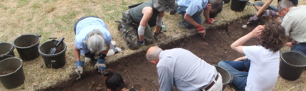
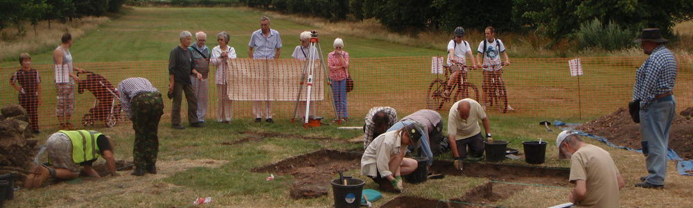
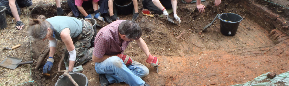
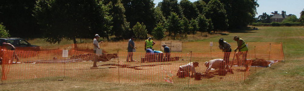
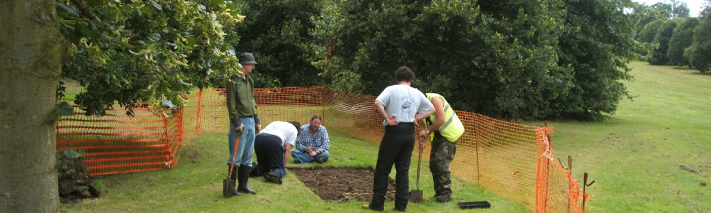
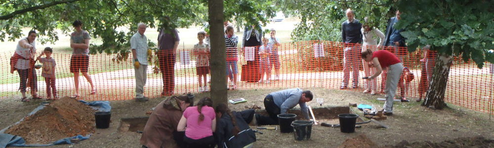
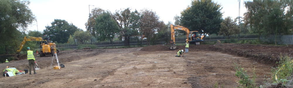
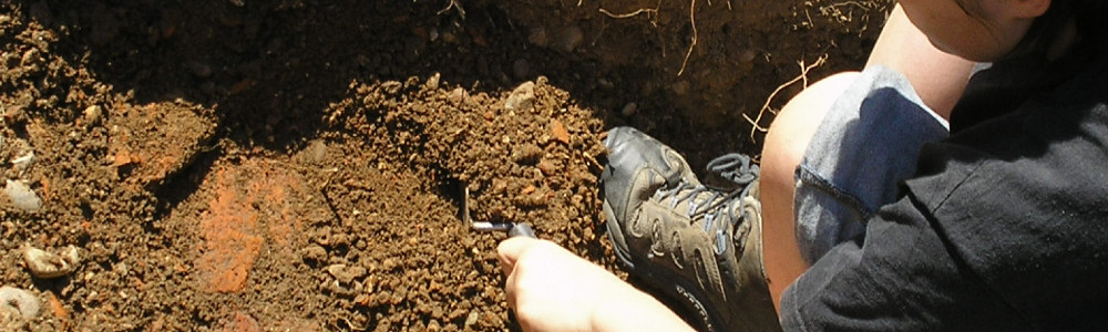
All members of the society over the age of 16 are welcome to dig with us – no experience is necessary. We typically run at least one dig a year in the summer, on the site of Henry VIII's Elsyng Palace with other work often cropping up through the rest of the year.
Dates for this year's dig on the site of Elsyng Palace in Forty Hall have been confirmed for July 12th-26th.
Following on from last year's work, this year we will be moving on to a focused effort to relocate the extensive
palace structures uncovered by the EAS between 1963 and 1966.
Unfortunately most of the original records from the work in the 1960s have been lost, and we only have a few blurry
slides showing the locations of the original trenches.
According to those, last year's dig should have put us in the right area to find at least one of the '60s trenches,
and although we were able to uncover more features of the palace's inner gatehouse, there was no sign of previous EAS work.
This has lead us to believe that the sixties work was most likely located further west of the
lime avenue and so this year we are planning to lay out a series of exploratory trenches to relocate some of the extensive
structures, and to evaluate their state of preservation.
Please note that places on this dig may be limited - if you are not already a member of the Society and want to join us
on this dig, the deadline for application is June 28th.
Season's greetings to our members: We are looking forward to another busy year of archaeology in Enfield - please
be sure to check your emails for updates on upcoming fieldwork in January/Febuary (double check your spam filters if you've not received anything from us recently).
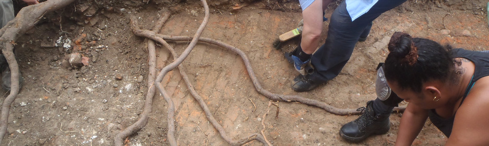
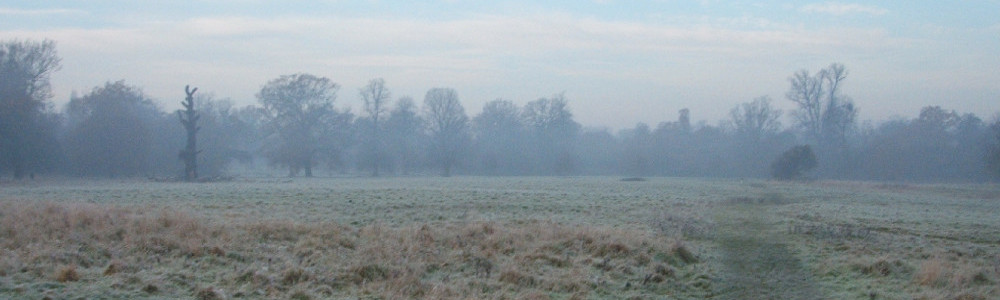
Amongst other things we will be investigating a recenly fallen veteran oak on the site of Elsyng Palace in Forty Hall, which has thrown up spoil
including large fragments of palace rubble.
We will be investigating the root throw of this fallen veteran oak in Forty Hall in January
We are also planning on carrying out some surveying in the same area in March, ahead of the 2026 summer dig.
Please remember that to take part in EAS excavations and to continue recieving details of our activities via email,
your subs must be up to date - please also note that rates for 2026 have been increased (see enfarchsoc.org/join).
We look forward to seeing you down a muddy hole soon!
We are pleased to report that the proposals by Enfield Council to introduce parking fees to Forty Hall and
a Controlled Parking Zone to the surrounding neighbourhood have been put "on hold".
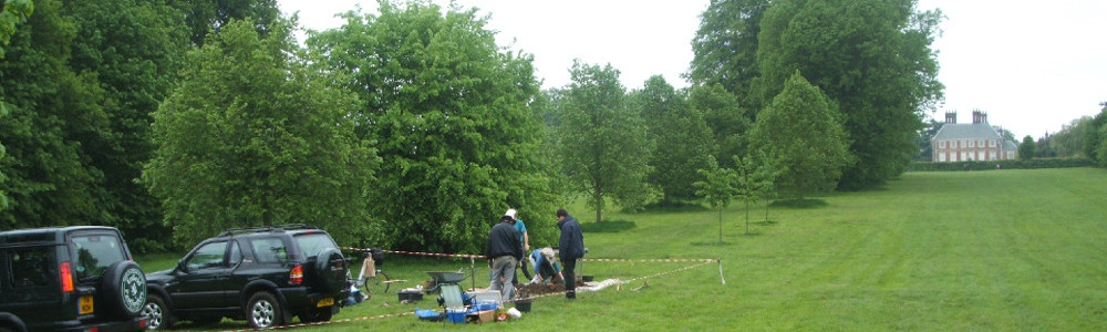
Our 20-year programme of research excavations in the grounds of Forty Hall on the site of Elsyng Tudor Palace
is dependent on our volunteers, many of whom have no alternative means to reach the site, especially with heavy excavation
gear.
Had the proposals gone ahead as announced each one of them would have been charged £140 to attend a dig, thus
threatening the future of our work not only in Forty Hall but elsewhere in the borough, since our annual dig
is our primary means of recruitment.
We hope that any future proposals of a similar nature by the "listening council" will involve dialogue with
local volunteer groups likely to be affected, rather than the stonewalling that we received over this one.
We'd like to thank those of you who engaged in the consultation and contacted your councillors over the matter.
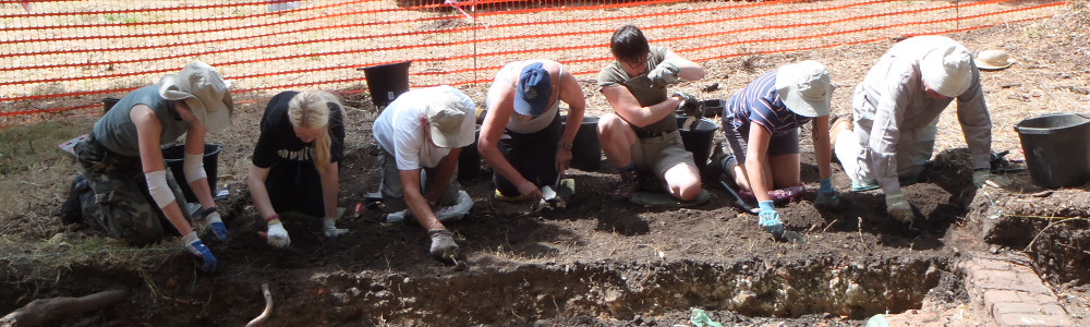
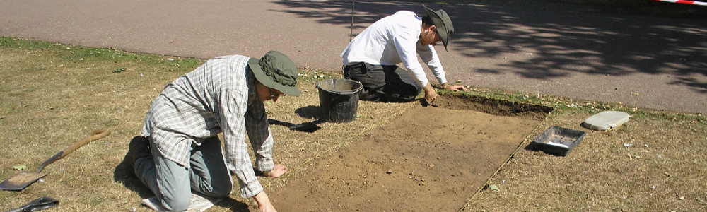
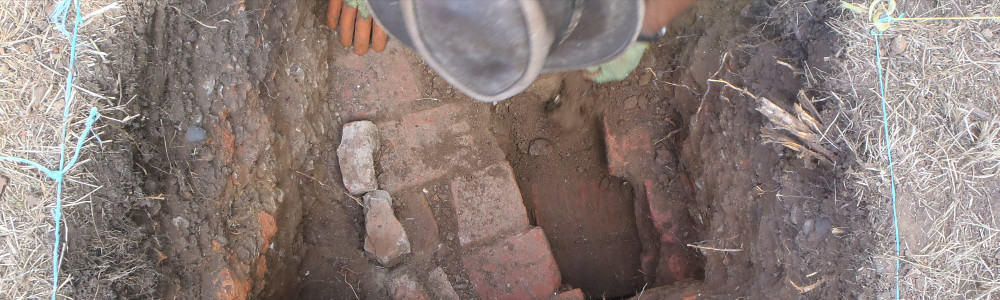
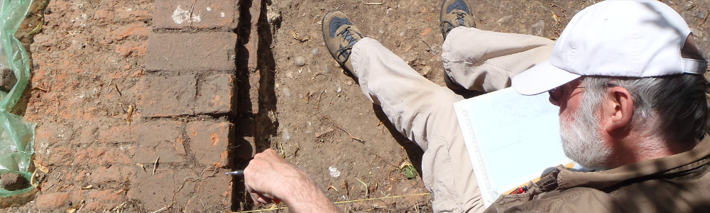
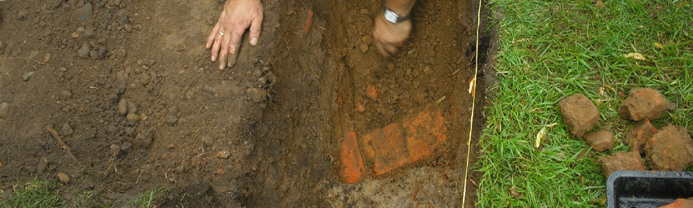
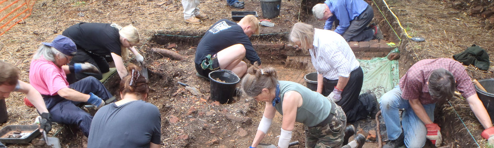
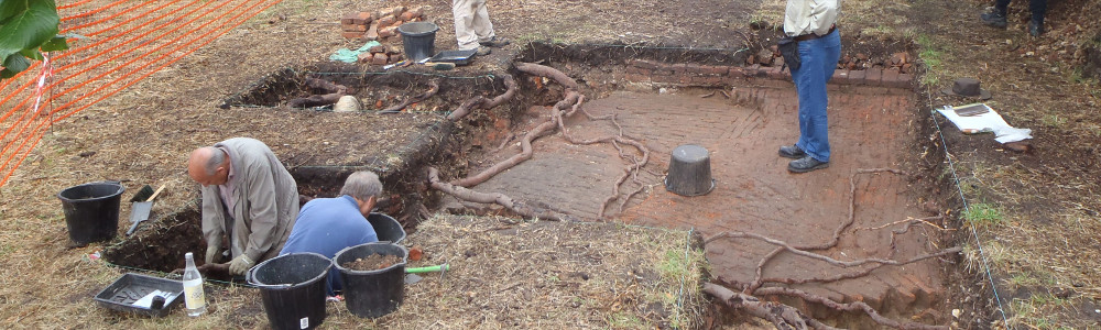
The enormous wall that was finally revealed in Trench 3 (facing west)
The weather improved just enough for us to get the last tasks of the dig finished and the final trench backfilled as our
two week dig on the site of Elsyng Tudor palace drew to an end today.
Yesterday was so wet we had to call an early end before we were able to finish revealing the ever-expanding wall in Trench 3.
Ultimately we didn't have enough time to explore this structure as fully as we would have, had we found it earlier in the dig,
but we were able to clean up and record a 4-metre stretch of what was evidently a very beefy piece of Tudor masonry indeed.
The wall is so wide that we didn't actually find its back edge, running as it does at an angle across the 1.5 metre wide trench,
and it turns a corner at the north end of the trench disappearing into the east section, albeit apparently not quite at 90 degrees.
Backfilling Trench 3
As far as we can tell, this wall most likely corresponds to the opposite end of the gatehouse building to the stair tower and cellar
we spent most of the dig investigating in Trenches 1, 2 and 5, and is quite possibly part of a twin to the stair tower - this would explain
the wall's great thickness (i.e. if it was supporting a four storey tower).
If we want to know any more about it, however, that will have to wait for another year (if there IS another year),
as by the end of the day we had recorded, backfilled and returned the site once again to a tranquil if slightly soggy woodland by Forty Hall's lime tree avenue.
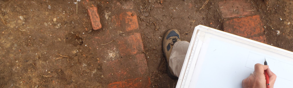
Full details of the findings of this years dig will as ever feature in upcoming editions of the Society newsletter and a full report will become available
(see here for last year's.
We'd like to thank our dedicated, hard working and determined band of diggers whose cheerful hard work made this dig possible through rain and
shine, especially those who stuck it out to the bitter end, and most especially those of you who turned up every day to push loaded barrows up
and down the hill before the digging had even begun.
We are also once again deeply grateful to Forty Hall Farm and Capel Manor College for lending us tool storage space,
not to mention the loan of wheel barrows, without which backfilling would likely have taken twice as long.
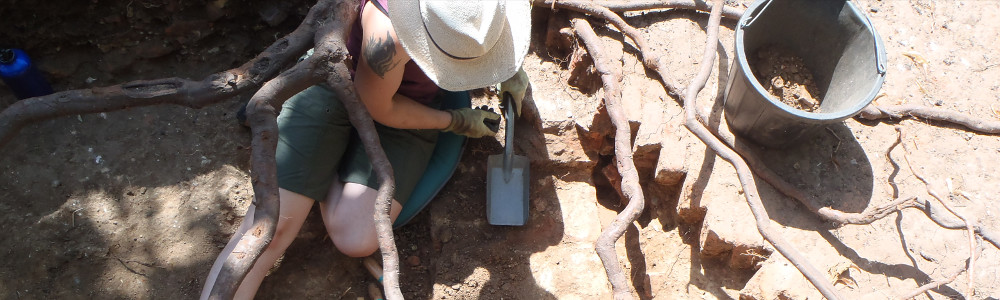
Working to reveal more of the wall in T3 during a lull in the rain
Rain stopped play today as yesterday's weather forecast unfortunately proved accurate, making work impractical.
Our brave diggers soldiered through the early morning torrents and we did manage to backfill Trench 5 (after carefully removing all the frogs!)
and finish spreading topsoil on Trench 1, so the only remaining open trench is now Trench 3.
A lull in the downpour late in the morning allowed us to do a little more digging in Trench 3 to reveal more of the
very substantial wall in it, and it began to look as if the wall has been truncated at both north and south ends,
but the heavens soon opened again making digging very difficult and surveying, photography and drawing out of the question.
We were therefore forced to call an early end to the day in the hope that tomorrow will be a little better;
we now have just one day left to clean up, fully record and backfill Trench 3.
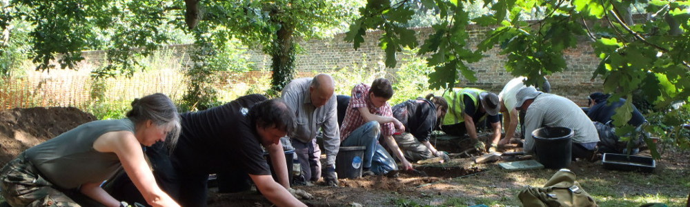
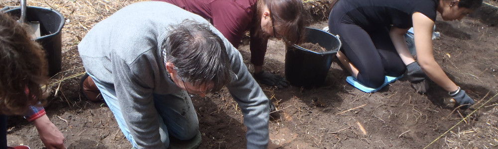
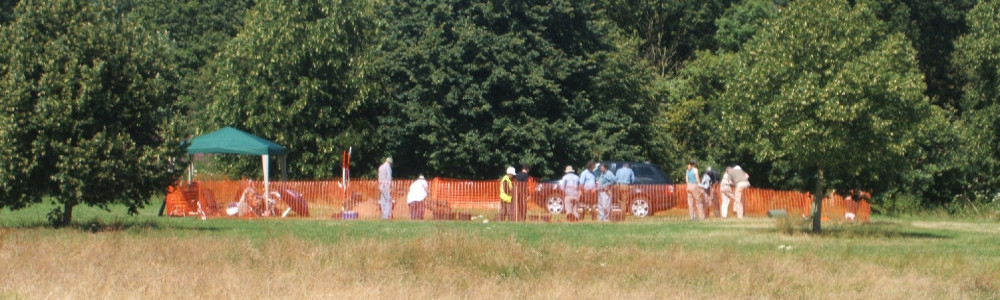
 Dig With Us


